Aerial Whidbey
Informative aerial media. Media developed from aerial media.
3D geospatial modeling of shoreline and inland properties
Progressive 3D modeling to track property changes
360-degree aerial images for inspections
Aerial photos/videos, cinematography
Media for Home Planning
2D and 3D visual tools for faster, better conversations during development of a property.
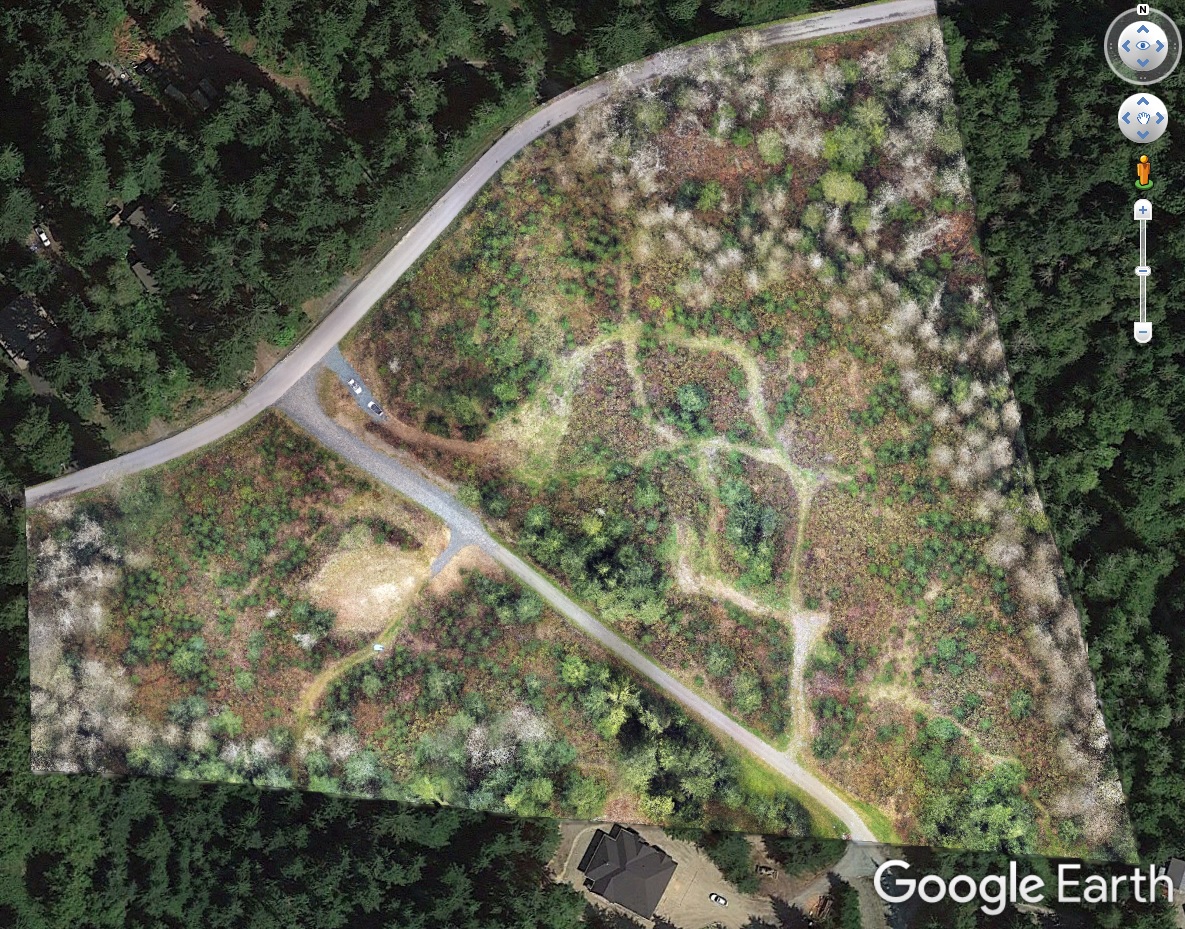
Aerial Whidbey offers a variety of 2D and 3D visual tools for faster, better conversations during development of a property. Know every detail of the slopes, the potential driveway and home structure placement, current and potential vegetation, and the views in every direction from the windows of your new home before it is built.
Enable your architect/planner to produce exceptional visual products to explore alternatives with you and reach agreements that move the project to completion.
As the land is formed and structures are being built, Aerial Whidbey can deliver periodic visual documentation of progress, from basic aerial video and photos to high-accuracy digital maps of every visible detail on the propery. Compare the as-planned to the current as-built, to enable any discussions about adjustments.
Since every situation is different, reach out with the Contact form to start a conversation about what you have in mind, and the location of the property. Aerial Whidbey will suggest a range of possibilities and develop a quote tailored to your needs.