Aerial Whidbey
Informative aerial media. Media developed from aerial media.
3D geospatial modeling of shoreline and inland properties
Progressive 3D modeling to track property changes
360-degree aerial images for inspections
Aerial photos/videos, cinematography
Media about a Bluff
Know more about the stability of a bluff and the adjacent bluff properties.
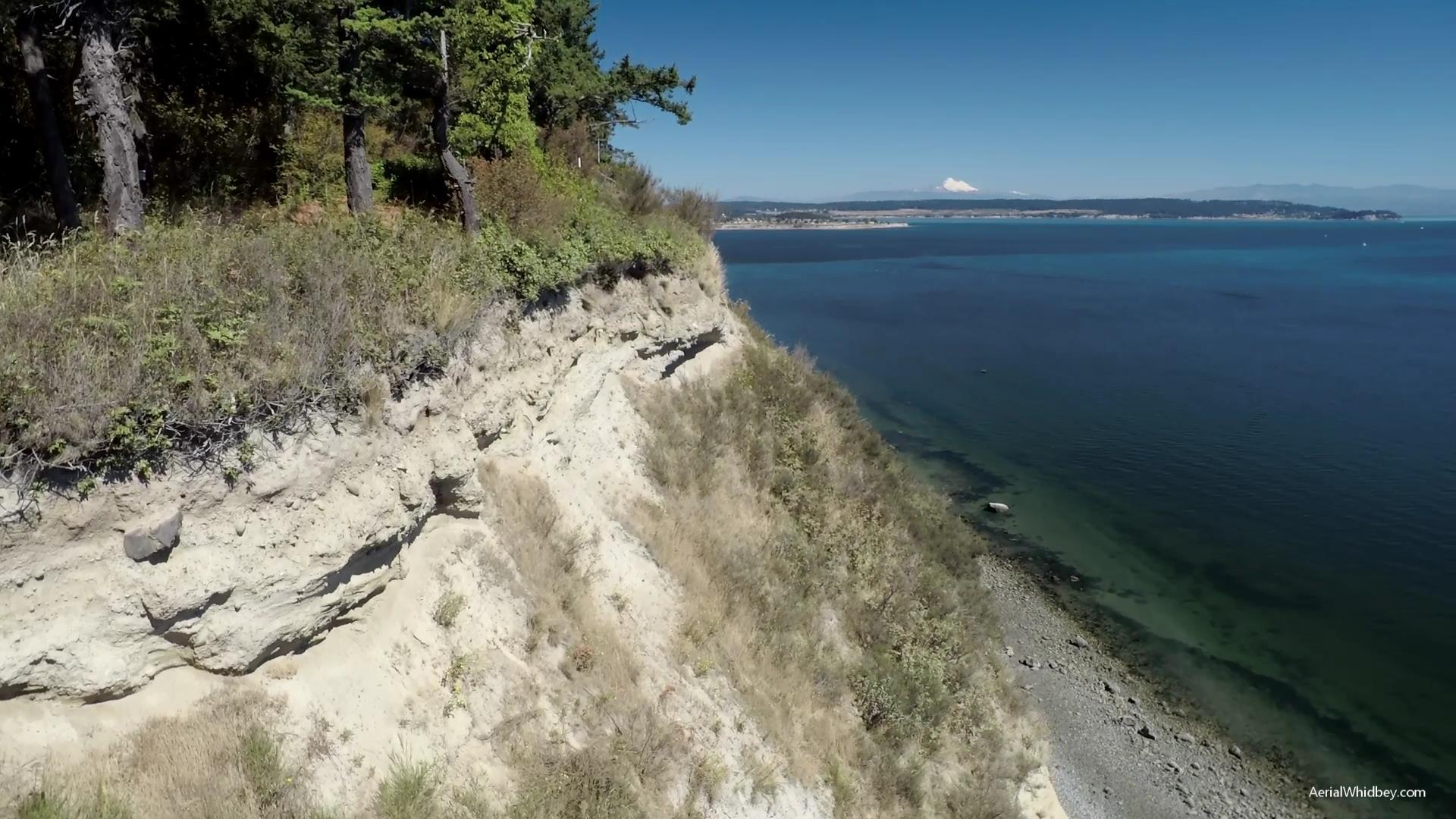
Homeowners, other property owners and potential buyers may want to know more about the stability of a bluff and the adjacent bluff properties. There may have been a slump or slide. There may be bare ground areas that should be replanted. There may be trees or bushes with eroded roots. A recent storm may have raised worries.
For most bluffs, there's only so much that you can see from the top of the bluff or from the shoreline, safely and with minimal effort. And you have to be there in person.
Aerial Whidbey provides the clearest, up close views of a bluff from top to bottom. Have high-quality visual information before calling Island County Planning, a geotechnical engineer, a plant restoration service, a land surveyor, or a construction contractor. Or before having a discussion with neighbors about potential next steps.
Since every situation is different, reach out with the Contact form to start a conversation about what you have in mind, and the location of the property. Aerial Whidbey will suggest a range of possibilities and develop a quote tailored to your needs.